
We Have a Passion for Surveying
Driven by Curiosity
4Ward Land Surveying is an industry leader in providing professional surveying services. Founded in 2009 in Austin, Texas, we provide land surveying, construction layout, aerial mapping, and geospatial solutions services throughout the State of Texas for private and public markets. Our firm has extensive experience working closely with architects, developers, engineers and contractors throughout all phases of project development. We have earned a solid reputation for quality, responsiveness, and accountability on projects that have shaped the communities we live in.
Why 4Ward
We have a passion for land surveying! Founded in 2009 in Austin, Texas as a dedicated land surveying firm, we continue to specialize in land surveying & geospatial solutions & services. Our services, including LiDAR/Drone, utility location, and GIS, are all in-house functions of the firm.
Always demonstrating excellence, our Project Managers examine each project holistically to educate clients on geospatial solutions that are 4Ward-thinking and yield maximum benefits to the client, often resulting in time & budget savings.
Respectful relationships with our clients and employees are the firm’s foundation. 4Ward Project Managers are committed to forging intentional client partnerships through transparent, honest, and timely communication. Likewise, 4Ward is powered by a team culture in which the Project Manager works side-by-side with the field crew and CAD techs to ensure quality and accuracy is achieved at various checkpoints of a project’s timeline.
Driven by curiosity, the firm proactively explores new technology to merge with traditional methods to gain an understanding of where and how to implement technology to best fit 4Ward’s processes and high standards. For example, in 2024 the firm launched its proprietary client portal that provides an interactive experience to view & receive surveys & GIS data.
At 4Ward, we recognize that what starts here helps build the world.
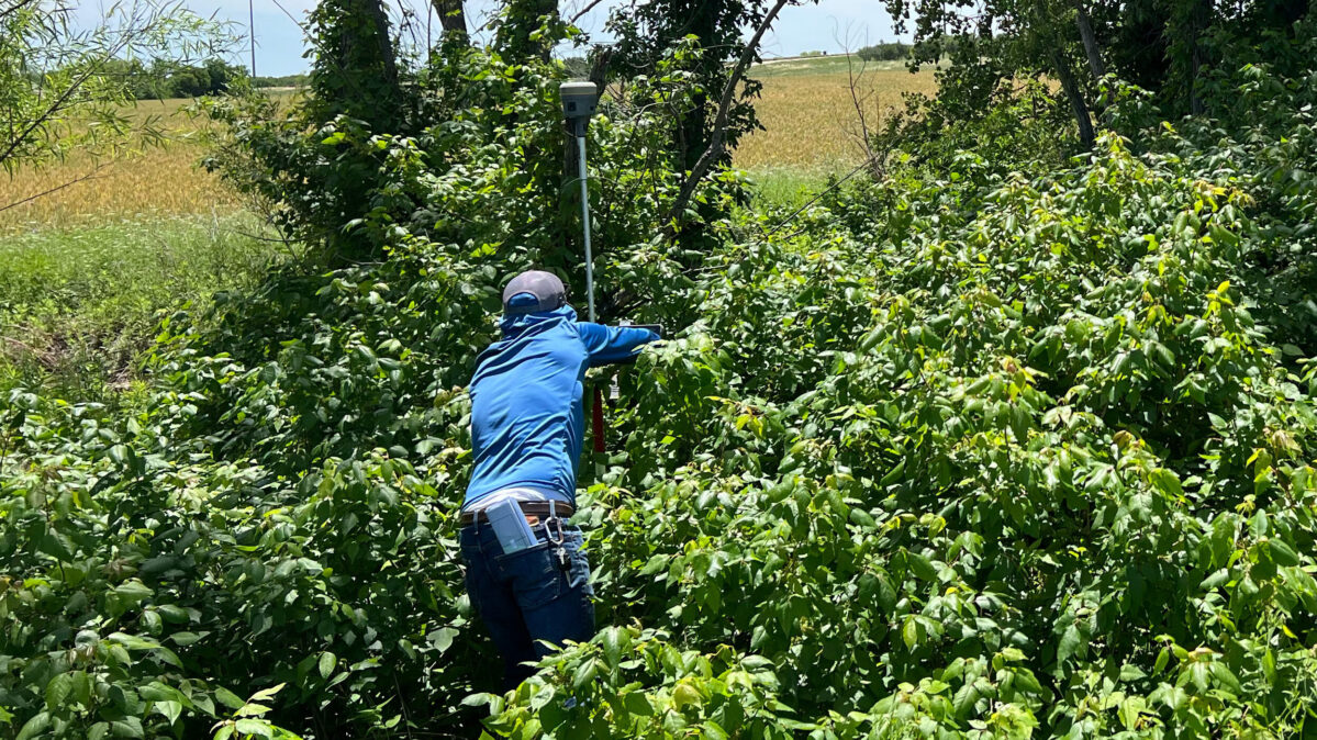
4Ward has completed thousands of land surveying projects throughout Texas. We are innovative in our use of technology, and combined with traditional methods our approach provides landowners, investors, and developers with the information needed to confidently initiate and execute projects.
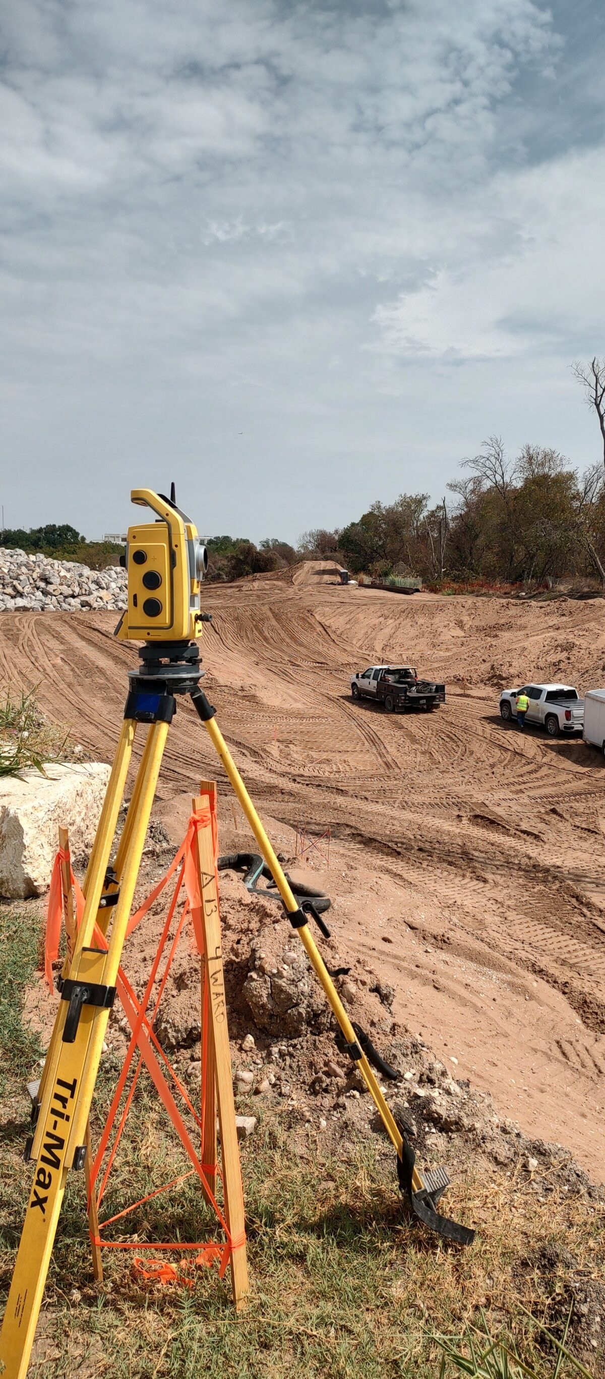
While traditional land surveying is at our core, 4Ward has built upon our reputation for quality to provide construction layout and staking services to developers and general contractors throughout all project phases. We provide layout services for everything from small pad sites to vertical high-rise developments.
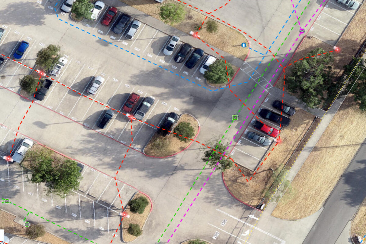
The geospatial solutions team uses drones for aerial LiDAR data, 3‑d laser terrestrial scanning during and post construction, and GIS solutions for utility and infrastructure mapping. Not only does 4Ward collect the data accurately but we also provide deliverables that are usable by various end users.
Make a Difference with Your Career
4Ward is looking for team players driven by curiosity, who have a passion to progress their skills and knowledge in land surveying, and thrive in a work culture that strives for excellence in how we interact with each other our clients, and the product delivered to our clients.