Services
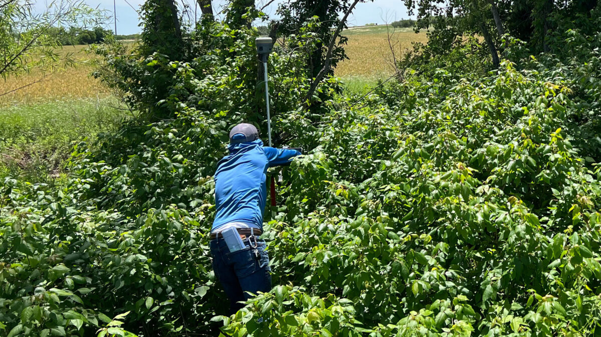
4Ward has completed thousands of land surveying projects throughout Texas. We are innovative in our use of technology, and combined with traditional methods our approach provides landowners, investors, and developers with the information needed to confidently initiate and execute projects.
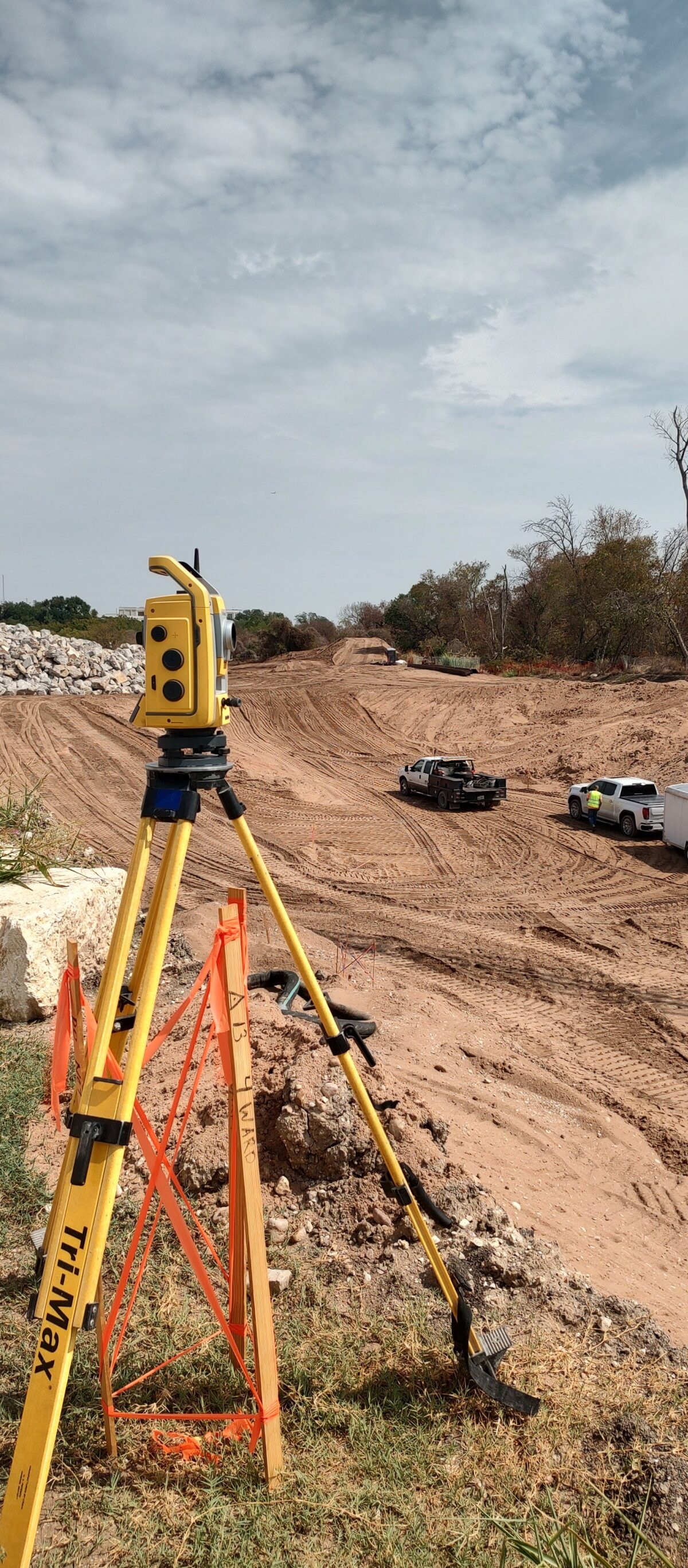
While traditional land surveying is at our core, 4Ward has built upon our reputation for quality to provide construction layout and staking services to developers and general contractors throughout all project phases. We provide layout services for everything from small pad sites to vertical high-rise developments.
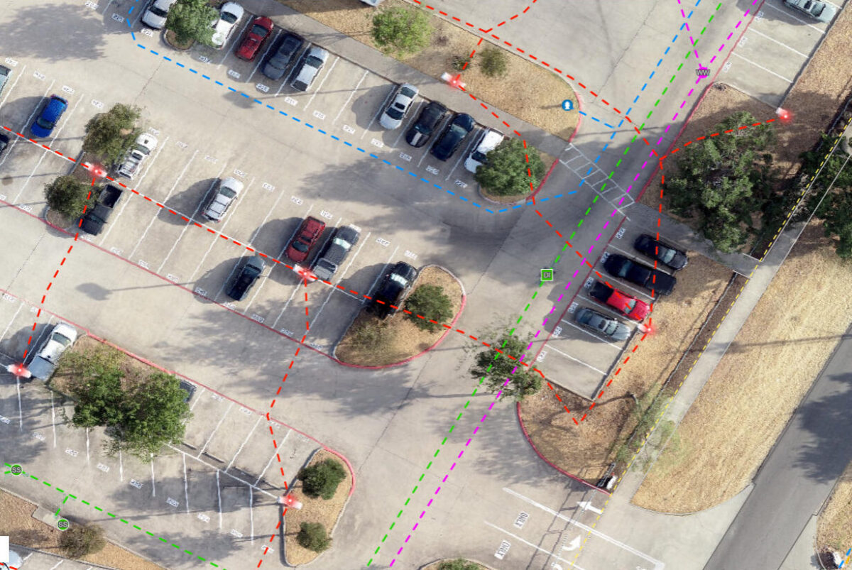
The geospatial solutions team uses drones for aerial LiDAR data, 3‑d laser terrestrial scanning during and post construction, and GIS solutions for utility and infrastructure mapping. Not only does 4Ward collect the data accurately but we also provide deliverables that are usable by various end users.
4Ward Land Surveying provides a range of geospatial services throughout the state of Texas, with GIS services extending nationwide.
Land Surveying
- ALTA / Title Surveys
- Boundary Surveys
- Condominium Plats
- Easements
- Easement Negotiations
- Elevation Certificates
- Subdivision Platting
- Transportation / ROW Surveys
- Tree / Topographic / Design Surveys
- Utility Route Surveys
Construction Layout Services
- Construction As-Built Surveys
- Construction & High Rise Layout
-
Baseline & Construction Layout
Monitoring - Elevation Exhibits
- Building Certification Letters
- Pad Certification Letters
- Form Certification Letters
- Boundary, Form, & Slab Surveys
- Control & Benchmark Setup
- Construction Exhibits
Alternative Geospatial Solutions
- ALTA / Title Surveys
- Aerial LiDAR Mapping & Control
- Bathymetric Surveys
- Hydrographic Surveys
-
Reality Capture & Terrestrial
Scanning - Sub-Surface Utility Location
- GIS Mapping
- GIS Data Management